Features
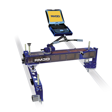
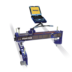
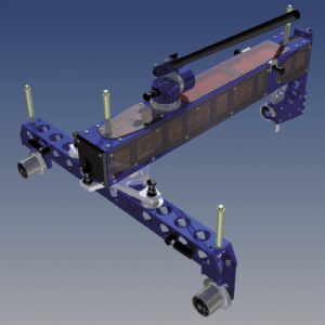
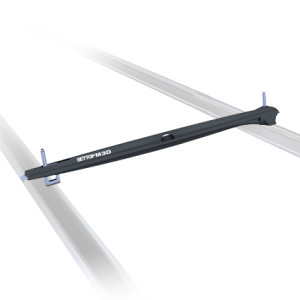
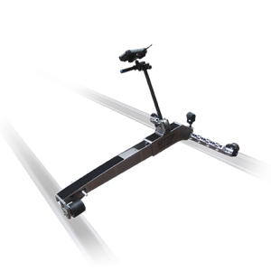
- Absolute or Relative Measurement Trolley
- Topographic Control in Real Time
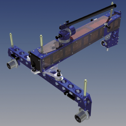
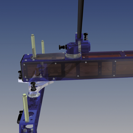
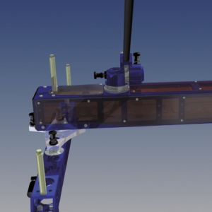
- Raised Structure to organize track elements during assembly
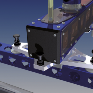
- Easily adapted to different gauges and track types
- High Performance: Simpler and more Accurate
- Weight: 60kg
- High Precision Sensors: Measurement Range±14.5º
- Automatic Superelevation Calibration
- Wireless Connection via Bluetooth
- Compatible with Trimble S Series
Method of working
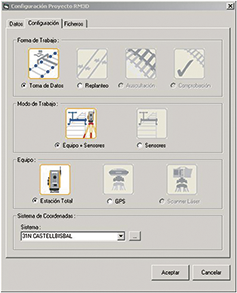
Method of working You can choose between working with external equipment (Total Station or GPS) or with sensors only. Equipment You choose the external equipment with which you are going to carry out the job: Total Station or GPS System of coordinates If you choose GPS, it enables you to transform the pertinent data. If you click on ( … ), you can see the selected transformation parameters.
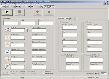
Set out absolute mode
The box Track Report shows you the data calculated from the tracks. The text box in Accept Point must be introduced in metres. When the values for the set out are within the indicated margin, the arrows will change to a stable sign. In the upper line the coordinates received from the station appear directly without any adjustment. Other data shown are: The projected PK, with the distance to the axis (already with corrected coordinates) being the negative distance to the left of the axis. The average super elevation, taken from the sensors and the theoretical super elevation (this is displayed in red or green depending on the tolerances of assembly). The gauge measured by the sensors and the theoretical gauge (this is displayed in red or green depending on the tolerances of assembly) Sensor gradient and theoretical gradient.


 Español