Surveying
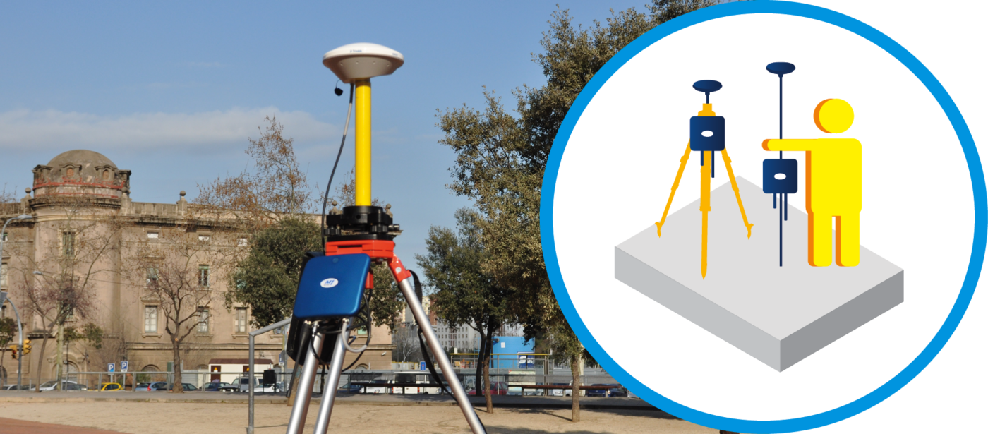
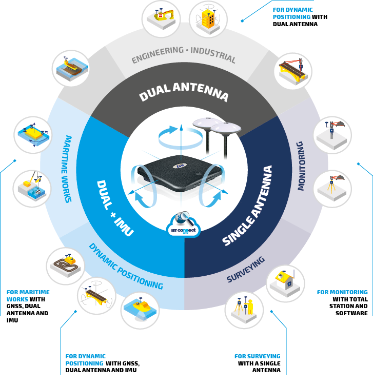
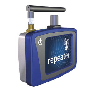
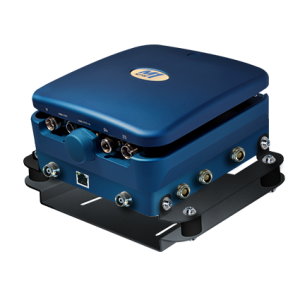
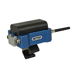
BASE MODE. Mounted on a tripod it allows you to work in base mode, from where it transmits differential corrections via its integrated radio or by internet using the NTRIP protocol.
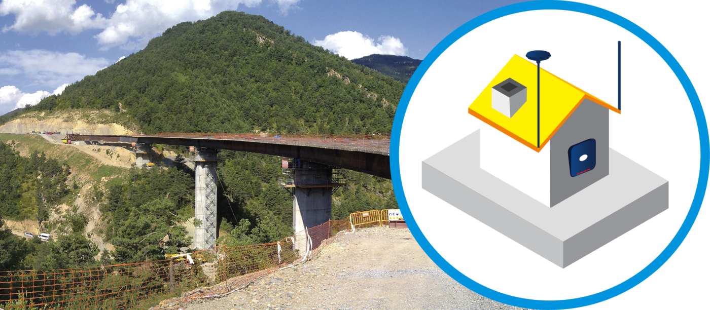
INFRASTRUCTURE BASE MODE. If you need a permanent reference base transmitting 24/7, you can configure the device with an infrastructure base. This will allow you to transmit corrections via radio, Internet, or to a central server in order to control multiple stations and also manage the storage of data for postprocessing.
Industrial
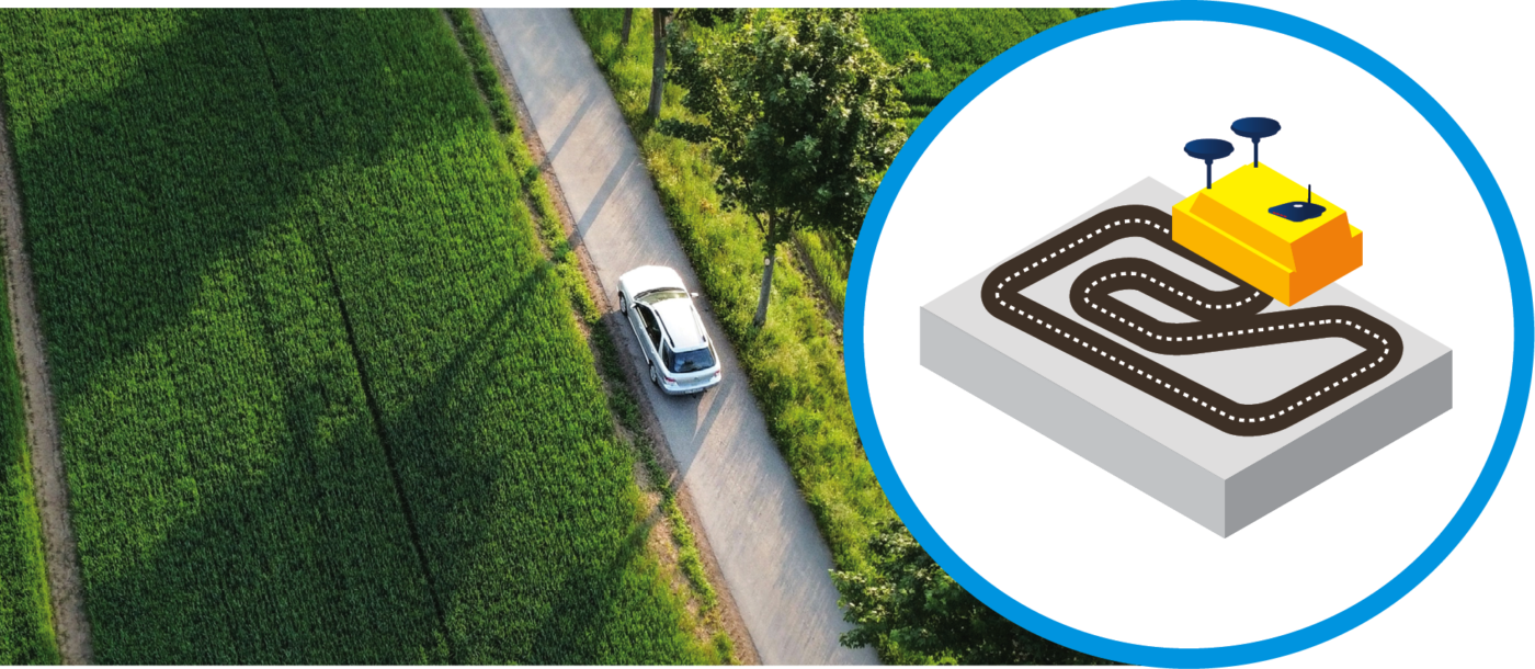
POSITIONING APPLICATIONS. For vehicle location with position data transmission and reception of RTK differential corrections. Specific data output for the needs of the project with projection calculations of the position of the vehicle on the axis of the circuit.
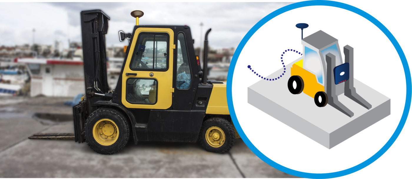
INDUSTRIAL AND PERSONALIZED. For personalized configurations in industrial developments it allows you to create new functions by taking advantage of all available technology adapted to the particular specifications of each individual project just like the applications that require continual centimetric precision with inertial sensors for positioning and orientation with assisted inertial navigation systems via GNSS for the automobile industry, maritime works, and surveying.
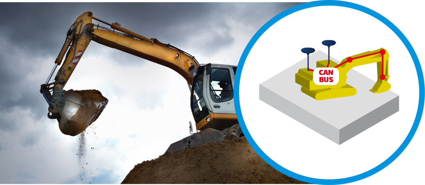
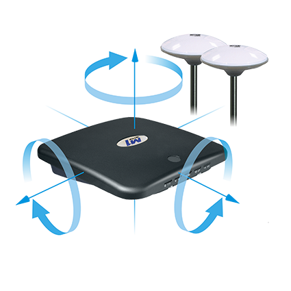
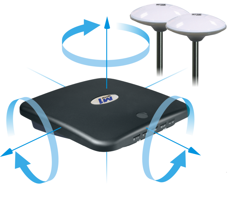
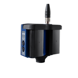
2D AND 3D MACHINE CONTROL. The Settop M1 increases the range of possibilities on different types of applications: machine control, orientation, dredging, split barges (boats), positioning platforms etc. The Settop M1 CAN Bus allows for the synchronization of external sensors, the use of up to two GNSS antennas, the increase of the number of Ethernet COM (RS232, USB) ports, and control of power supply. It can be easily configured via Internet.
Settop Neptune for Maritime Works
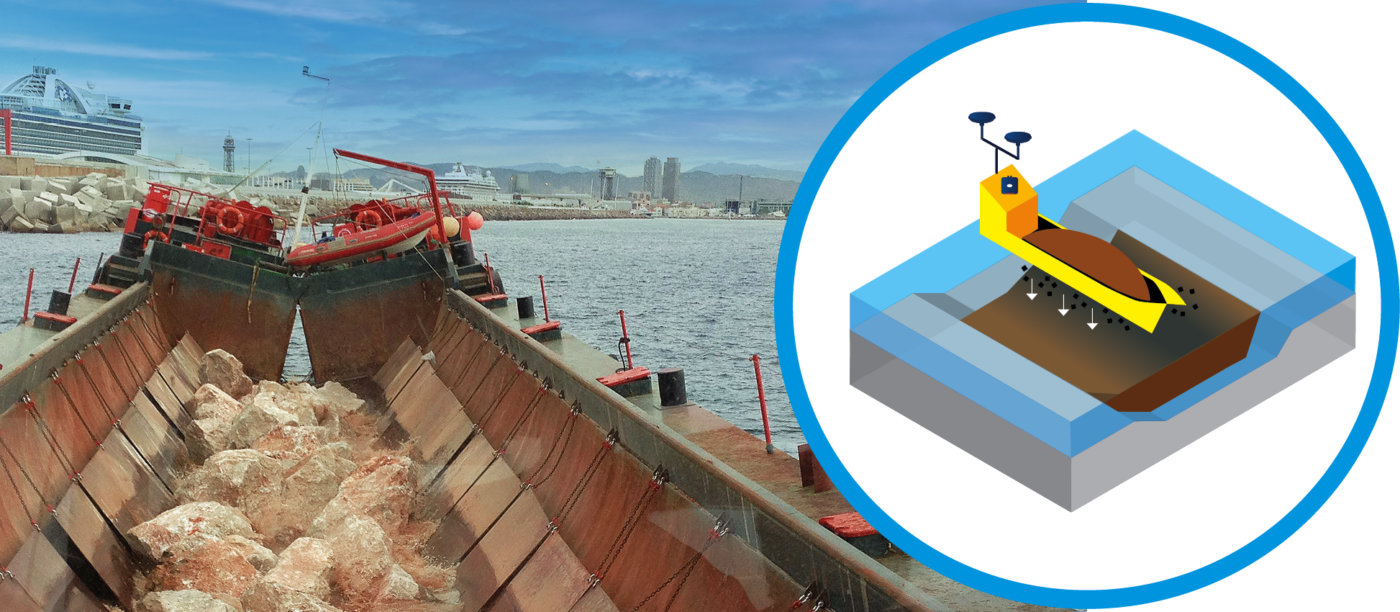
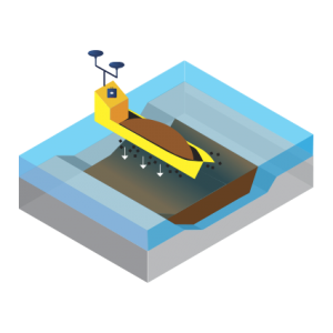
GUIDED SYSTEM FOR DUMPING. The installation of a GNSS receiver with a double antenna allows you to know the exact position and orientation of the barge at all times in order to carry out the dumping process in the correct location. It registers the location and the number of dumping tasks carried out so that you can control the total volume of material dumped at all times.
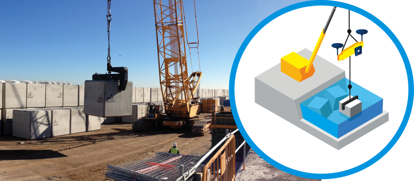
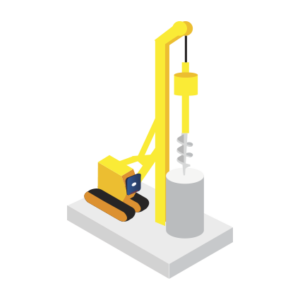
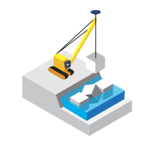
INTEGRATED GUIDED CRANE SOLUTION FOR PRECISE PLACEMENT OF CONCRETE BLOCKS. This solution will allow the crane operator to place each block with total precision and confidence. Thanks to its continuous localization system and practical visualizer the operator will know the position, depth, and orientation of the block at all times and will be able to place it with absolute precision according to the project plan.
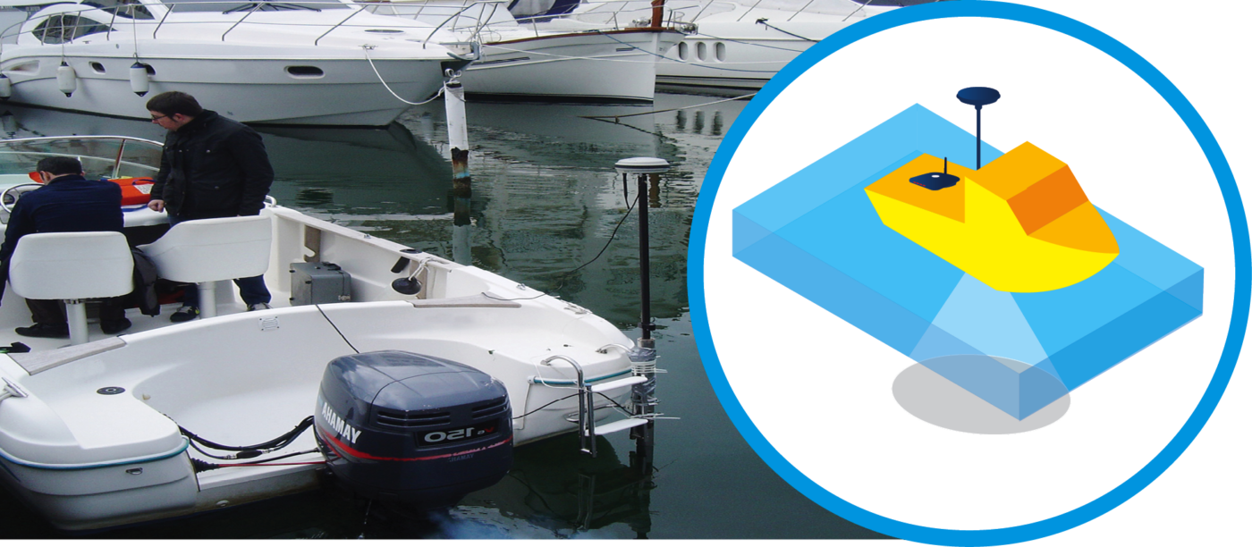
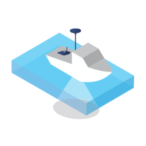
BATHYMETRIC CONTROL SYSTEM. This is for the surveying of the relief of underwater surfaces; what we are speaking of here is the bottom of the sea, water courses, lakes, and reservoirs. As in conventional surveys, we find the co-ordinates X, Y, and Z so that we can accurately describe the underwater depths and all the anomalies and exceptions that they can present for the topographer.
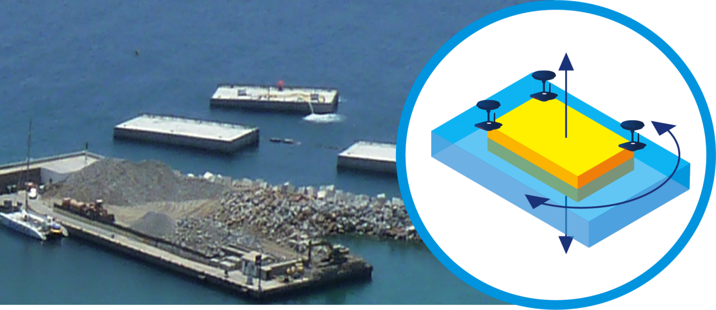
SYSTEM FOR POSITIONING OF FLOATING CONCRETE CAISSONS. The solution enables you to receive data from 3 GNSS receivers in 3 dimensions for a smooth and precise positioning and leveling. The system allows you to guide the blocks easily and simply during the platform leveling process and also lets you check their exact position relative to the specifications of the project.
Auscultación
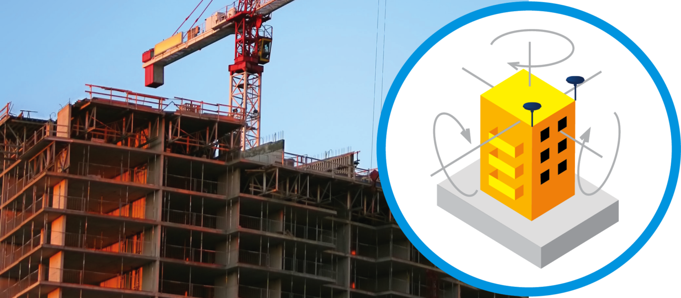
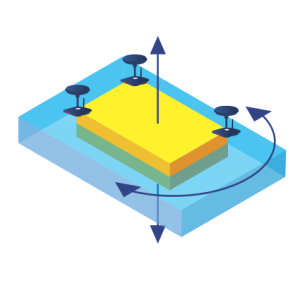
DYNAMIC/STATIC MONITORING WITH GNSS (BLOCKS, STRUCTURES). This type of monitoring is used for the control of positioning or verification of displacement of large structures. An example of this type of monitoring is the control of dams, buildings, embankments etc.
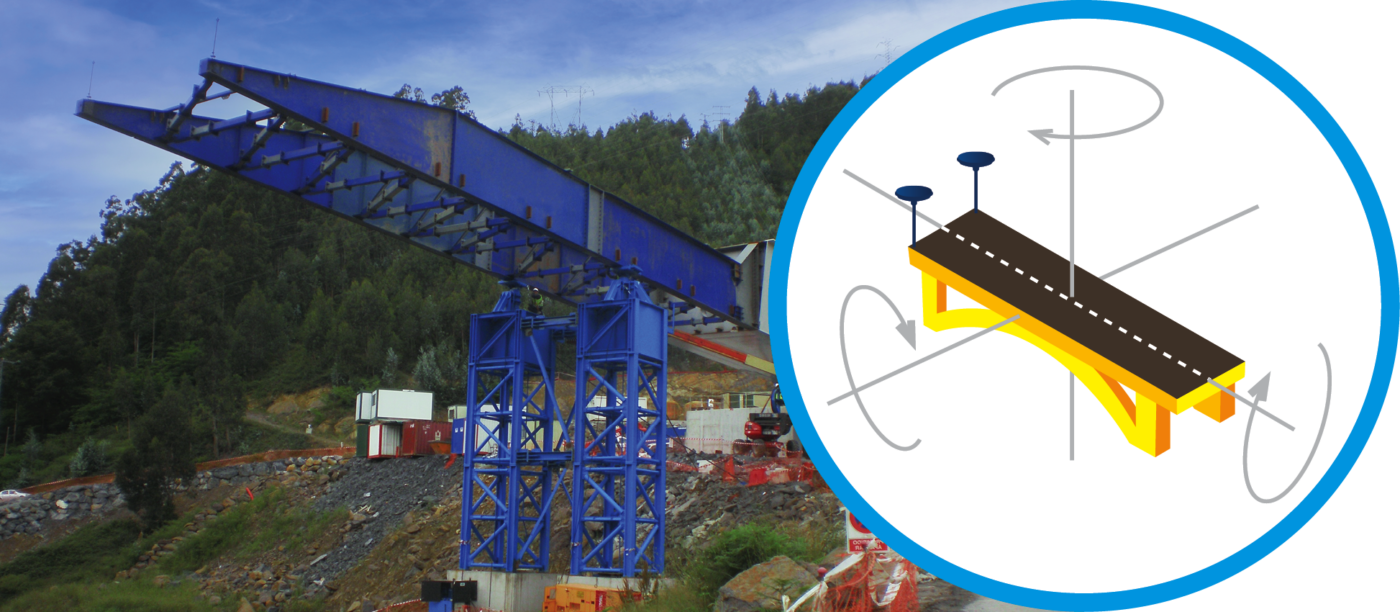
DYNAMIC MONITORING (BRIDGES, PLATFORMS). This type of monitoring is used to control the positioning of mobile elements which have to be placed in a specific place as set out and detailed in the project plans. Bridge launching is a clear example of dynamic monitoring.
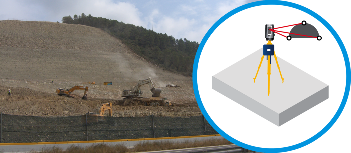
STATIC MONITORING WITH TOTAL STATIONS (SLOPES, BUILDINGS, STRUCTURES). This type of monitoring is used for controlling deformations and/or static elements such as slopes, buildings, structures etc.
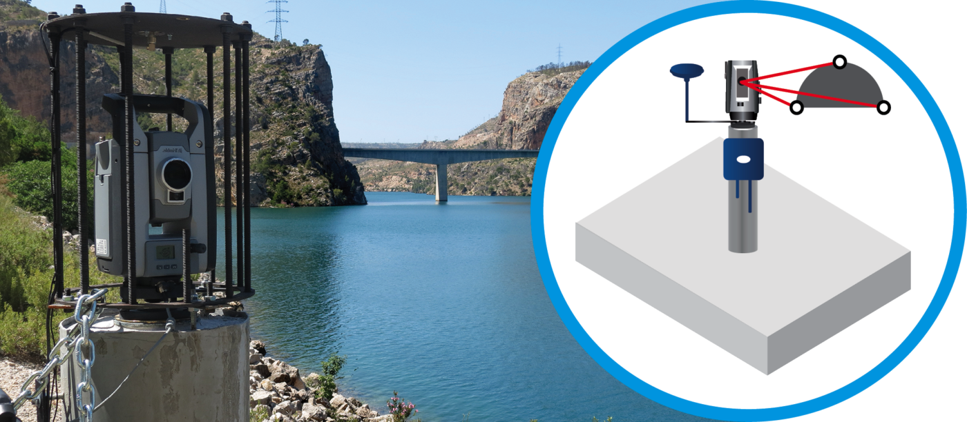
MONITORING WITH GNSS AND TOTAL STATIONS. The combination of various positioning sensors like total stations, GNSS, and additional sensors can help us gather data in order to carry out a study of the stability of a specific area.


 Español
