
 Español

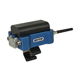
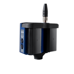
Settop Drone
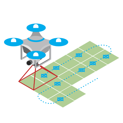
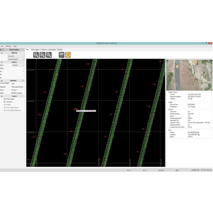
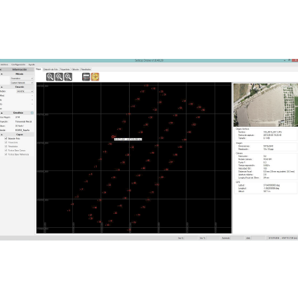
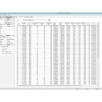
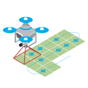
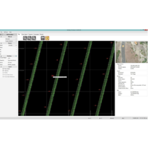
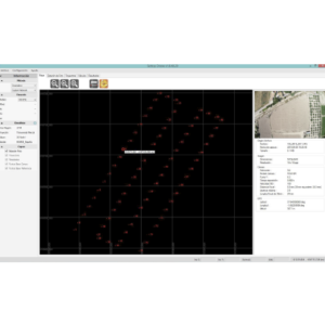
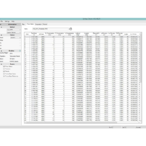
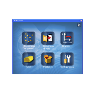
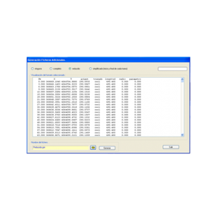
Utility Software for UAV, post-processing, and geodesic calculations. Settop Drone is a type of utility software which allows the easy transfer of flight data from your drone to your photogrammetry software. It makes it very easy to move the whole flight to specific real co-ordinates simply by selecting from a database or to implement a geoid. You can also add flight displacements in three dimensions, modify the metadata of the photography (EXIF), or even post-process the flight or base trajectory. Its data export will modify the metadata of each photograph with the new co-ordinates calculated and an ASCII file ready to be imported into the photogrammetry software.
- Easy to Use
- Geoid Application
- Selection of a system of co-ordinates
- Writing of the metadata of the photography (EXIF)
- Trajectory post-processing
- Post-processing of the reference base
- Application of displacements
- Exportation of the flight to ASCII and /or KML
Settop Drone Downloads
Related products
Software Settop

Others
Software Settop
Communications
Engineering - Monitoring
Others
Software Settop