
 Español
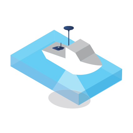
Settop Bathymetric control system
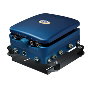
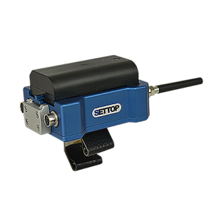
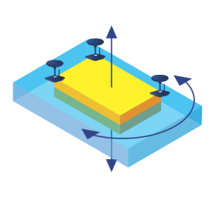
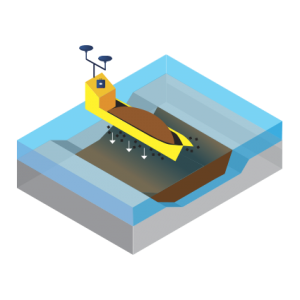
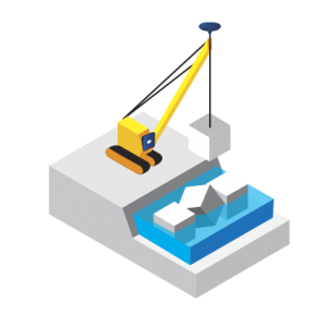
We understand bathymetry as the surveying of the relief of underwater surfaces; what we are speaking of here is the bottom of the sea, water courses, lakes, and reservoirs. It is the mapping and surveying of the bottom of underwater surfaces just as if we were on dry land. As in conventional surveys, we find the co-ordinates X, Y, and Z so that we can accurately describe the underwater depths and all the anomalies and exceptions that they can present for the topographer. We offers you various products designed to fit all of your needs: A GPS receiver with PPS output for the synchronization of data with a single beam or multibeam echo sounder to guarantee centimetric precision EU400 echo sounder, an ultra-compact single beam echo sounder which will allow you to carry out maritime works and work in rivers and reservoirs without high investment costs and you will be able to connect directly to your GNSS receiver through a USB connector.
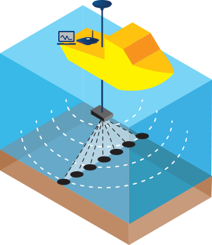 System with a multibeam echo sounder and GNSS receiver
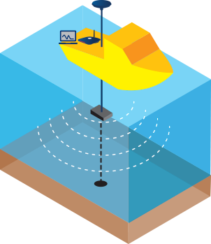 System with a single beam echo sounder and GNSS receiver
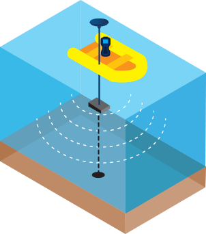 System with an ultra-compact single beam echo sounder and Settop EU400
Settop Bathymetric Control System Downloads

Related products
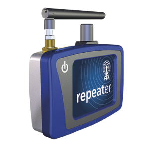
Communications
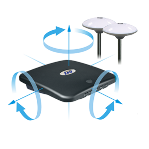
Engineering - Monitoring
Maritime Works
Maritime Works
Maritime Works
Maritime Works
Communications
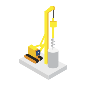
Maritime Works
Maritime Works
Maritime Works